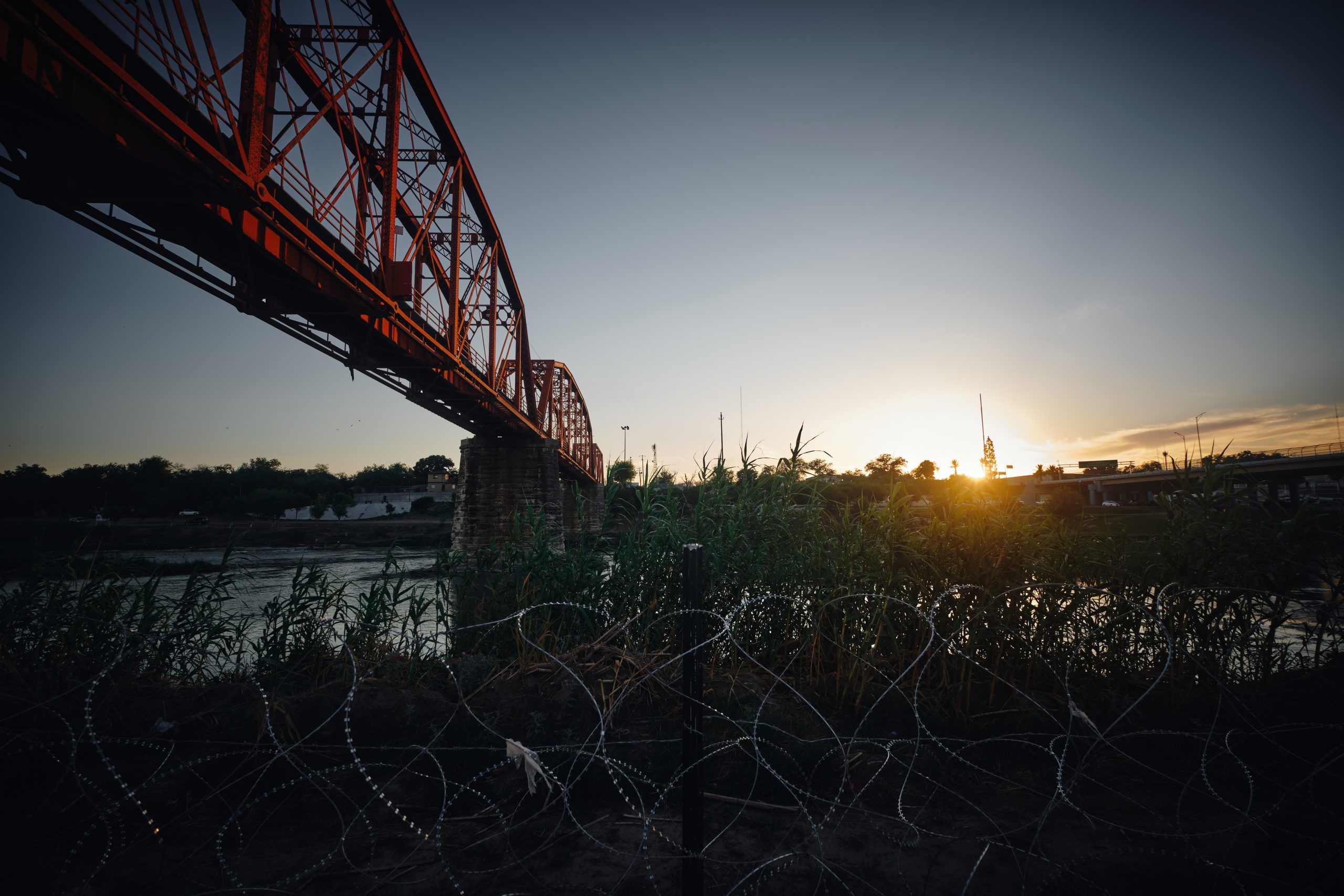
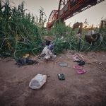
Appearance of the U.S.-Mexico border defined by the Rio Bravo, as seen from Eagle Pass, TX. Since the Mexican city of Piedras Negras, located on the opposite bank of the Rio Bravo, is one of the least unsafe on the border, it is one of the sites chosen by immigrants to cross the southern border of the United States.
Inicio Appearance of the U.S.-Mexico border defined by the Rio Bravo, as seen from Eagle Pass, TX Appearance of the U.S.-Mexico border defined by the Rio Bravo, as seen from Eagle Pass, TX
Appearance of the U.S.-Mexico border defined by the Rio Bravo, as seen from Eagle Pass, TX